
In 2010 the Hungarian Academy of Sciences published a study which consisted of the effects of climate change on Hungary. It said that ”between 2021 and 2040 temperature changes would hit the region of Alföld the most and the biggest rise (1.4 degrees Celsius) could be expected in the autumn months. Winter would become milder by 1 degree Celsius in average, and the number of days having a temperature below zero could drop even by 12 to 15.”
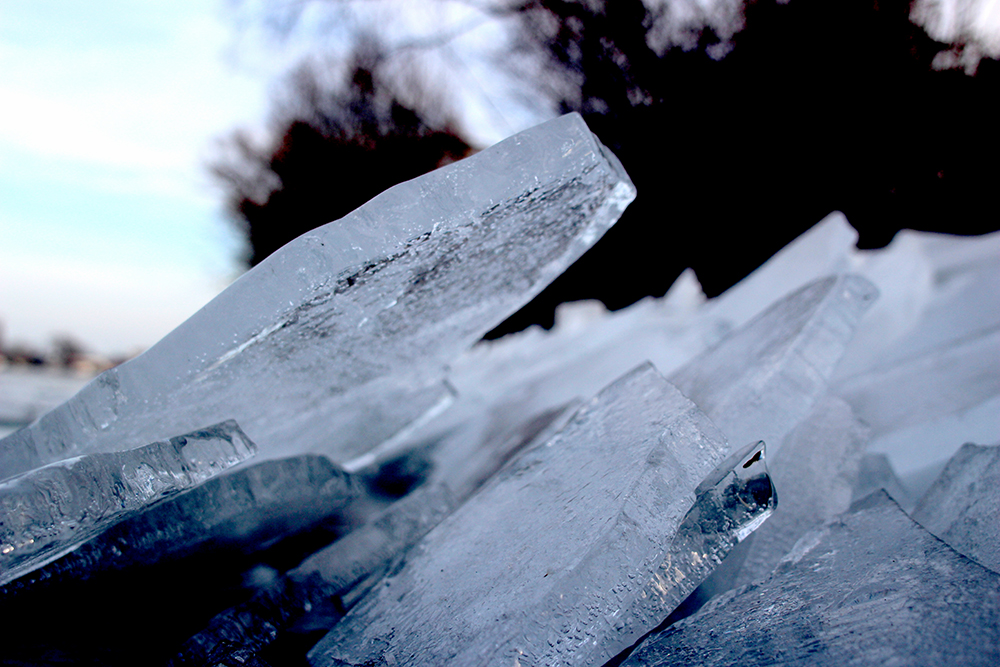
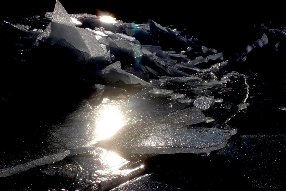
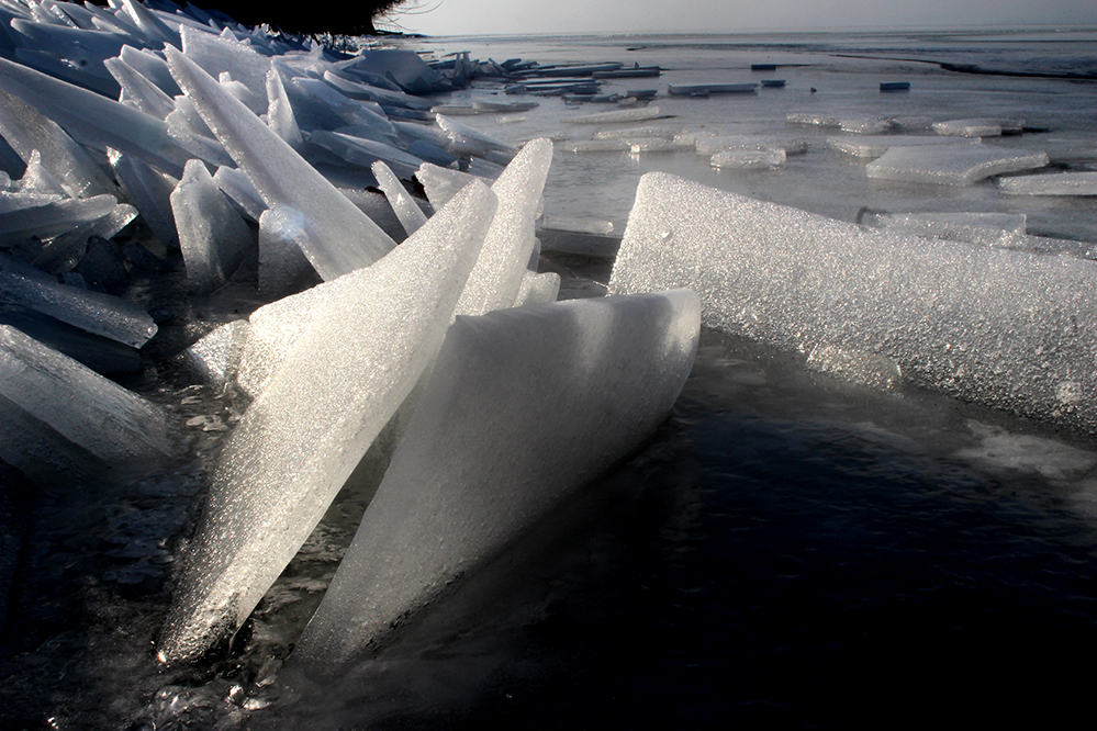
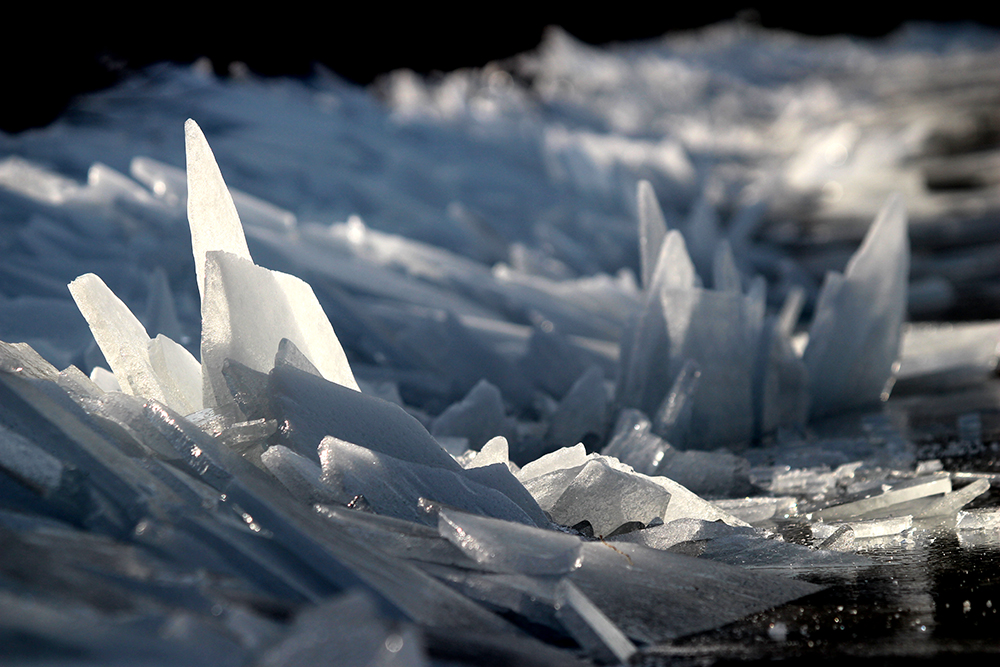
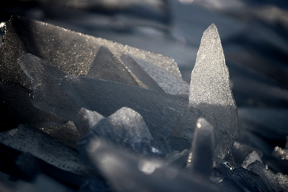
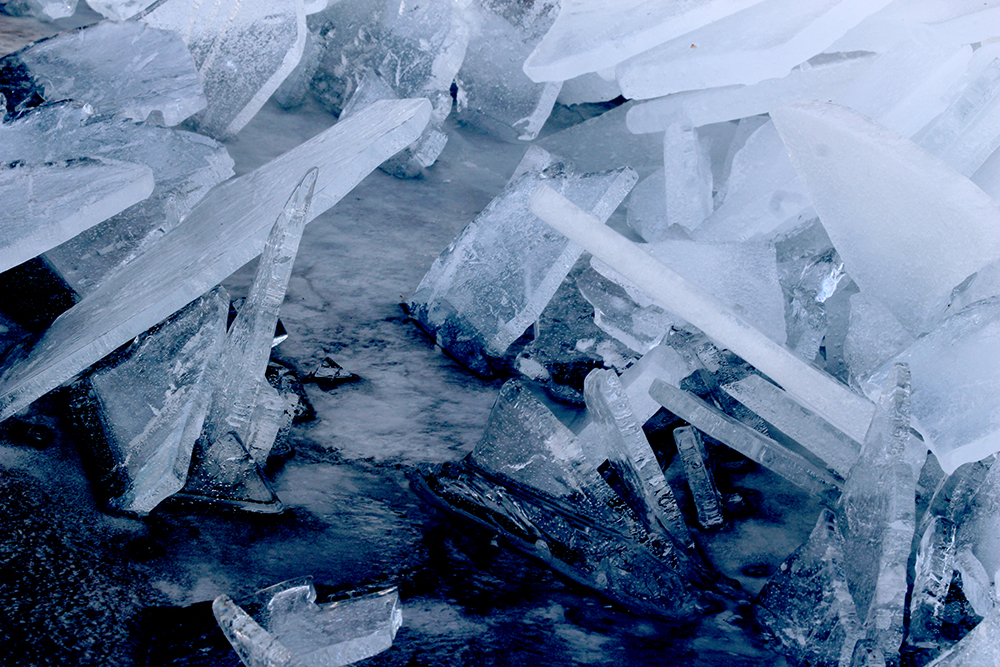
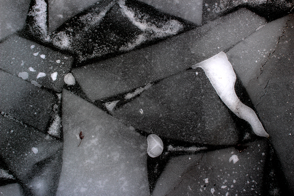
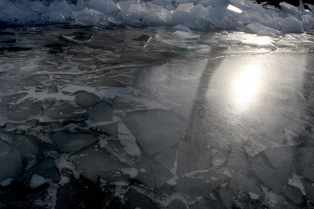
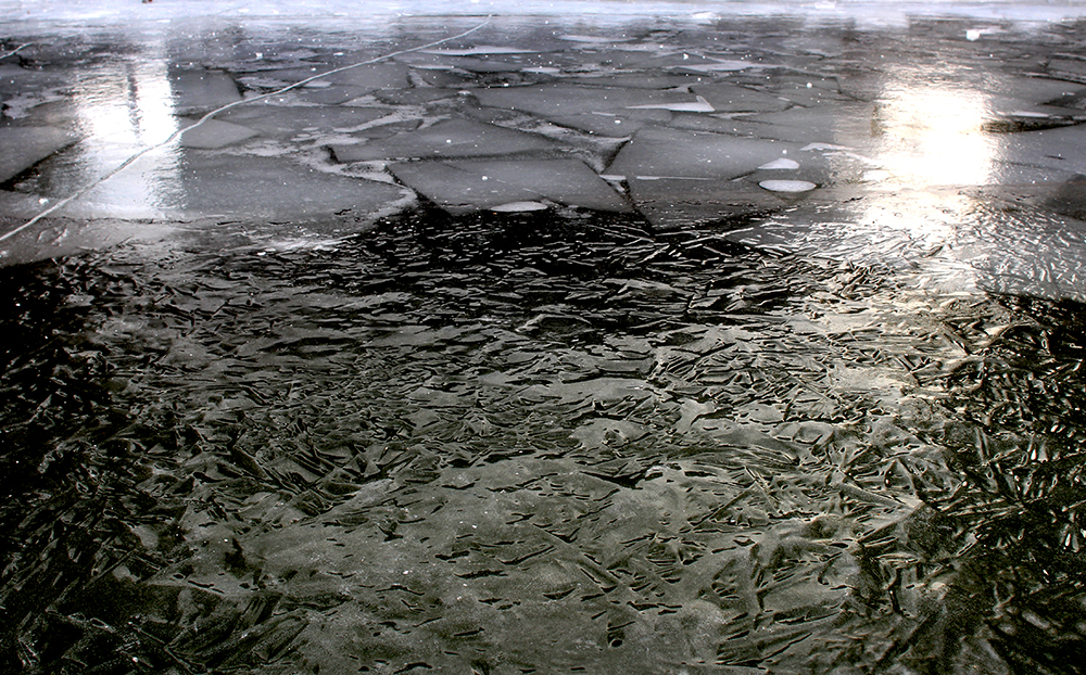
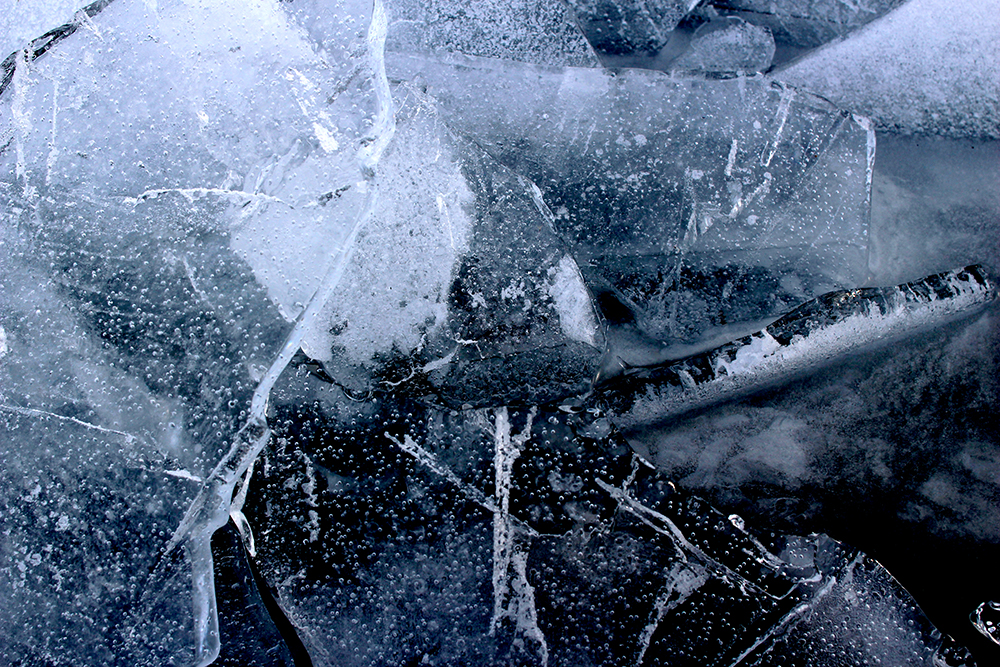
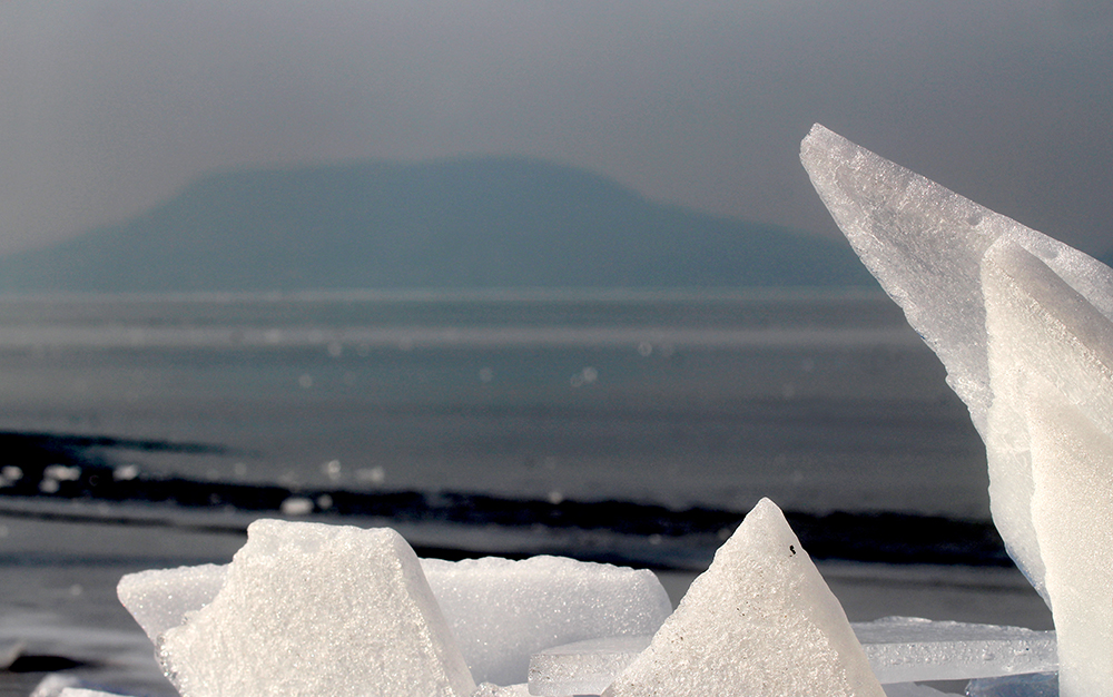
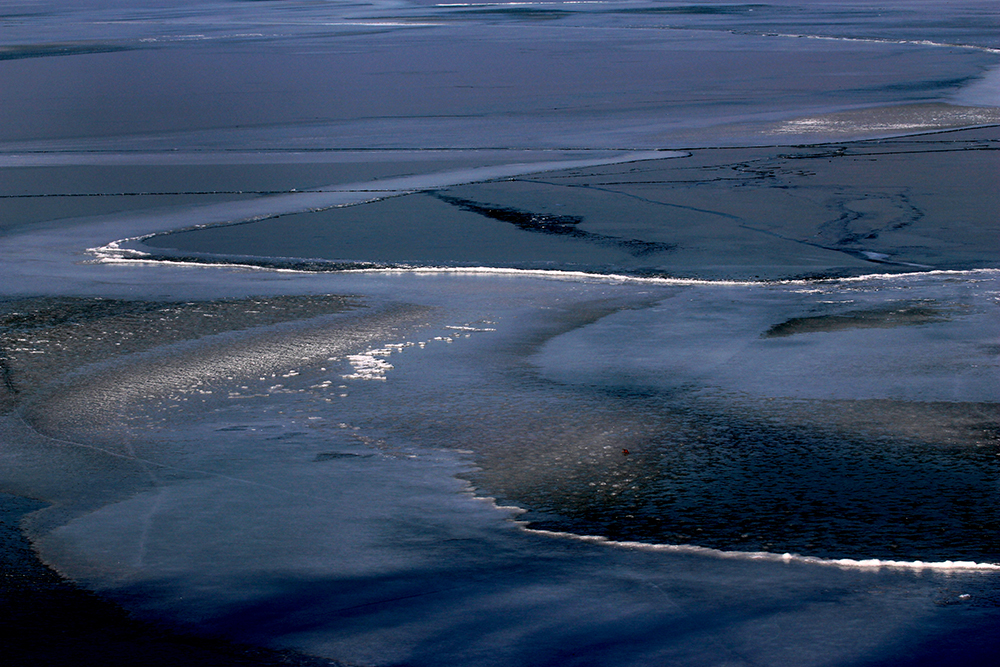
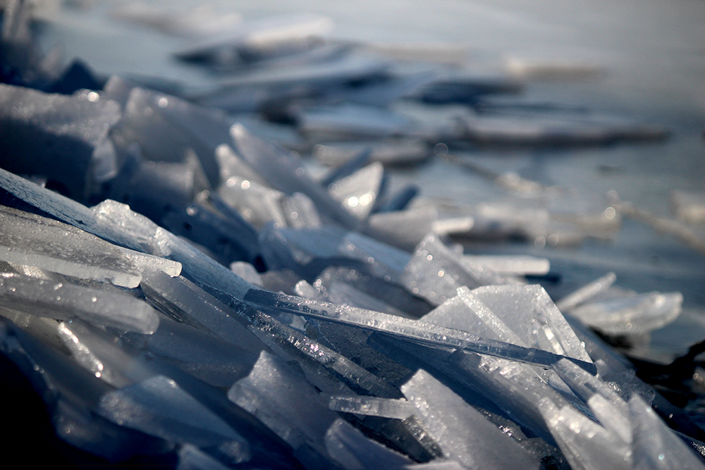
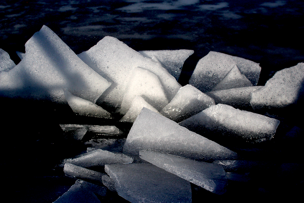
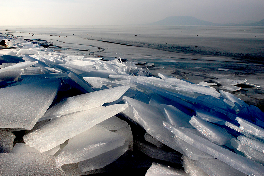
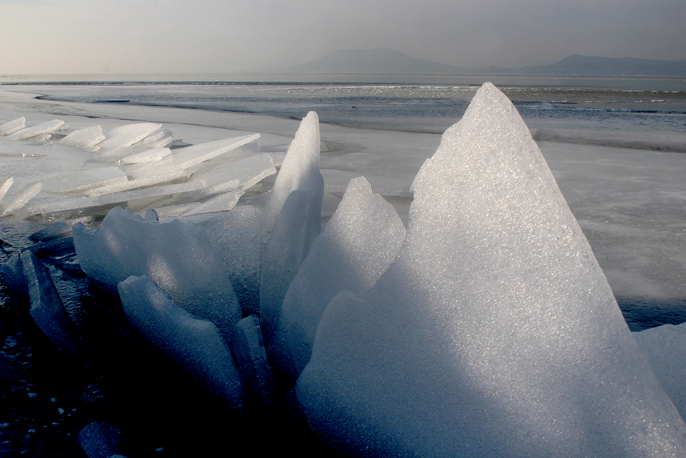
Lake Balaton was frozen for a longer period at most winters until the middle of the 90’s. The thickness of the ice often reached even 20-30 centimetres. At those occasions movements of the ice of the frozen lake were accompanied by ice cracks and pressure ridges. Typical ice cracks together with powerful phenomena of sounds are long cracks on the surface of the ice because of shrinking ice. At lake Balaton as an impact of growing cold, ice widens, the plates are piled up on each other, and a pressure ridge is developed. During the winter of 2015-2016 that phenomenon could be observed for not more than three days.
On the solid ice surface formed on the lake small cracks appear because of daylight warming or widening of the “fatting” ice. If the crack is formed again and again, there is a growing possibility of the fact that it peels open wider and wider again. The walls of the cracks are jammed against each other and enormous horizontal pressure is developed. Pressure reinforces so much that the ice lets the pressure out, so that ice tables get torn at the edges, the tables then lean onto each other or even are pushed upon each other. By the lake Balaton that is called pressure ridge. When that phenomenon happens, cracked ice tables are leant to each other like cards propped against each other.
However, effects of the climate change on the weather of the lake appeared even before the Millennium and the length of the frozen periods and thickness of the ice have continuously decreased. During the last decade just for a couple of weeks or even days was it possible to skate on the ice of lake Balaton, and it is evident that the process is moving towards milder and milder winters. Unusual mild weather has several different causes. One of them is that at winters there is a huge amount of cold air accumulated above Serbia which by spreading above the Carpathian Basin causes constant cold weather. Nevertheless, nowadays the amount of the accumulation of cold weather has slightly decreased. Another determining factor is that warm, humid air flows into our region as the warm fronts of cyclones which have been more frequent than usual and occasionally even powerful. The cyclones also block the streams of cold air coming down from the Arctic.
By the recommendation of the World Meteorological Organization the Hungarian Meteorological Service makes surveys based upon averages of thirty-year-long periods (e.g. 1971-2000). During the first half of winter in Hungary in 2013-14 (between 1 December and 15 January) minimums varied above many years’ average by 2.1 degrees: in the mentioned one-and-a-half-month period the average minimum temperature was 0.6 degrees below zero, while many years’ average is 2.7 degrees below zero. Maximums were well above the average as well: many years’ average of maximums is 2.8 degrees, while in the examined period of winter 2013-14 that was 5.6 degrees. It means that during the first half of winter the maximum temperature in the country was higher than many years’ average by almost 3 degrees. Daily warm temperature records were hit as well. There was a region where the temperature was above 10 degrees even at the coldest hour of the day, moreover it also happened that it was more than 16 degrees during the day. The amount of winter falls also lagged behind many years’ average in 2013-14: many years’ average of December is 44 millimetres, while in December 2013 only 12.3 millimetres was recorded by the Hungarian Meteorological Service as a national average.