
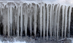
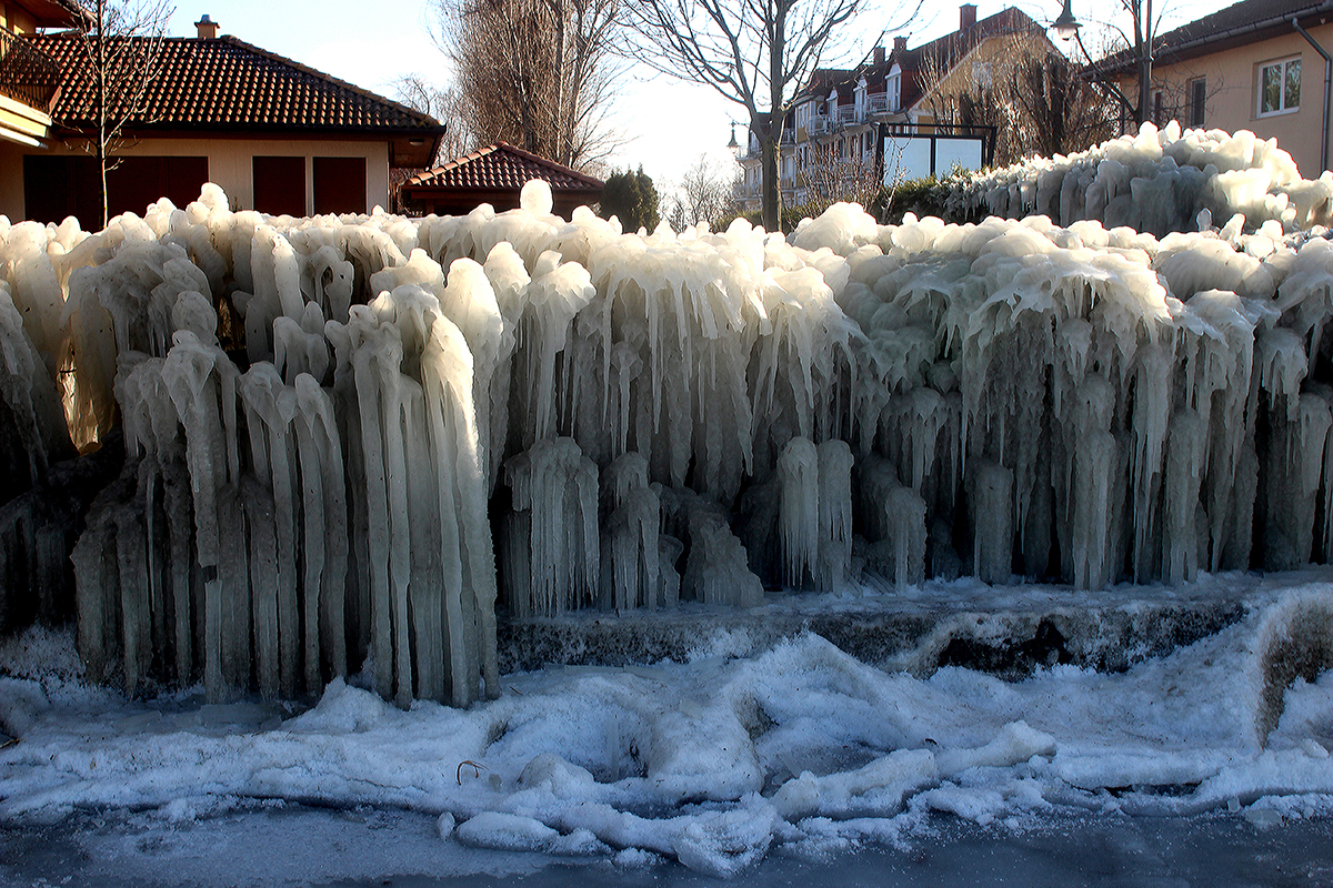
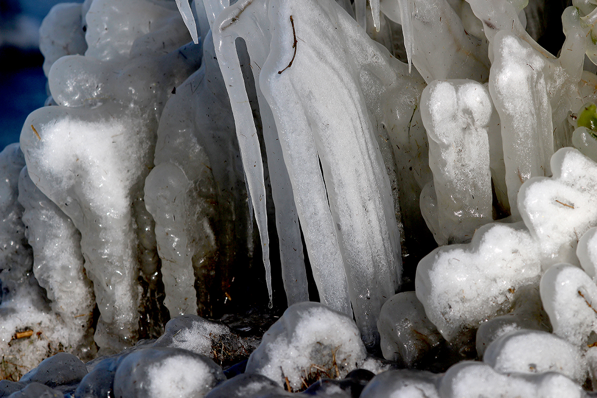
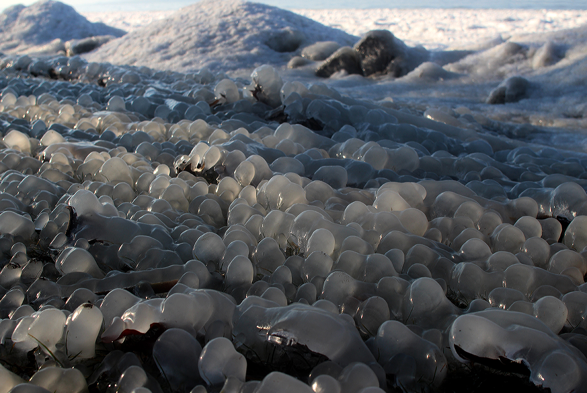
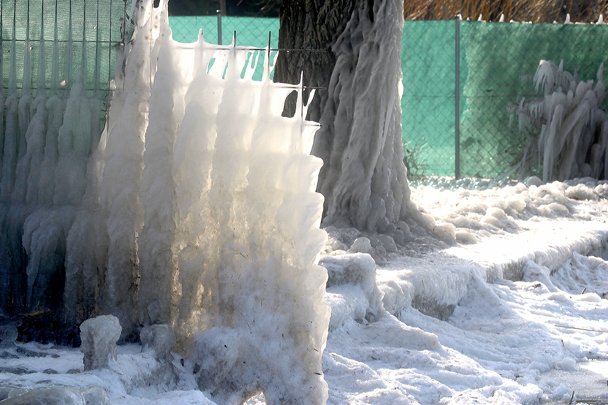
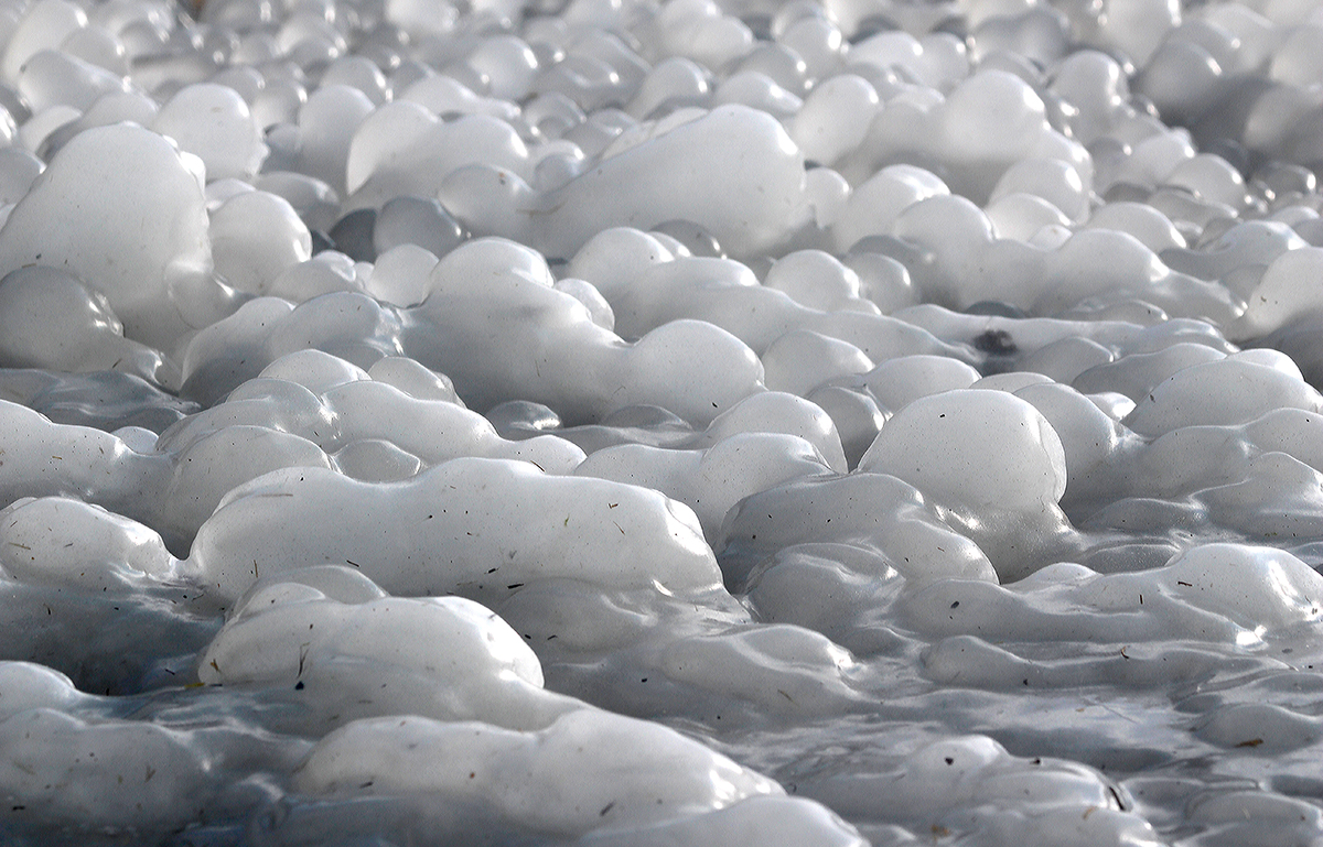
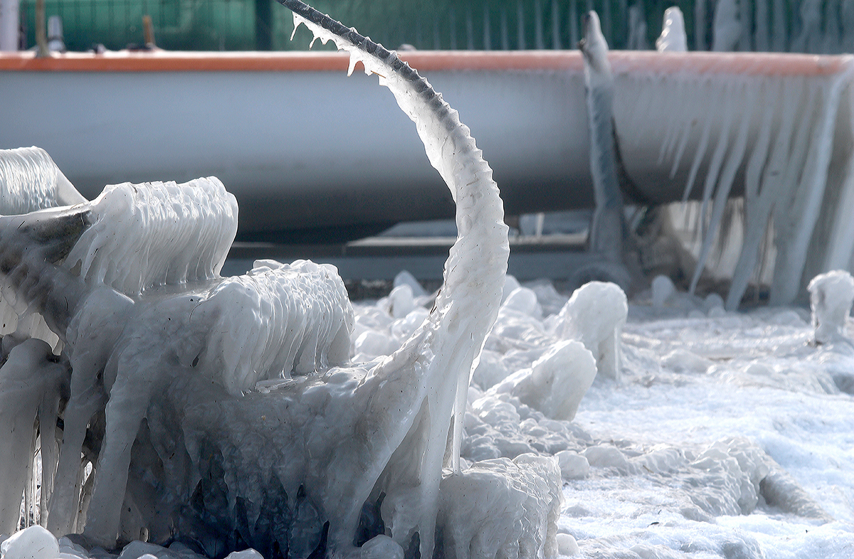
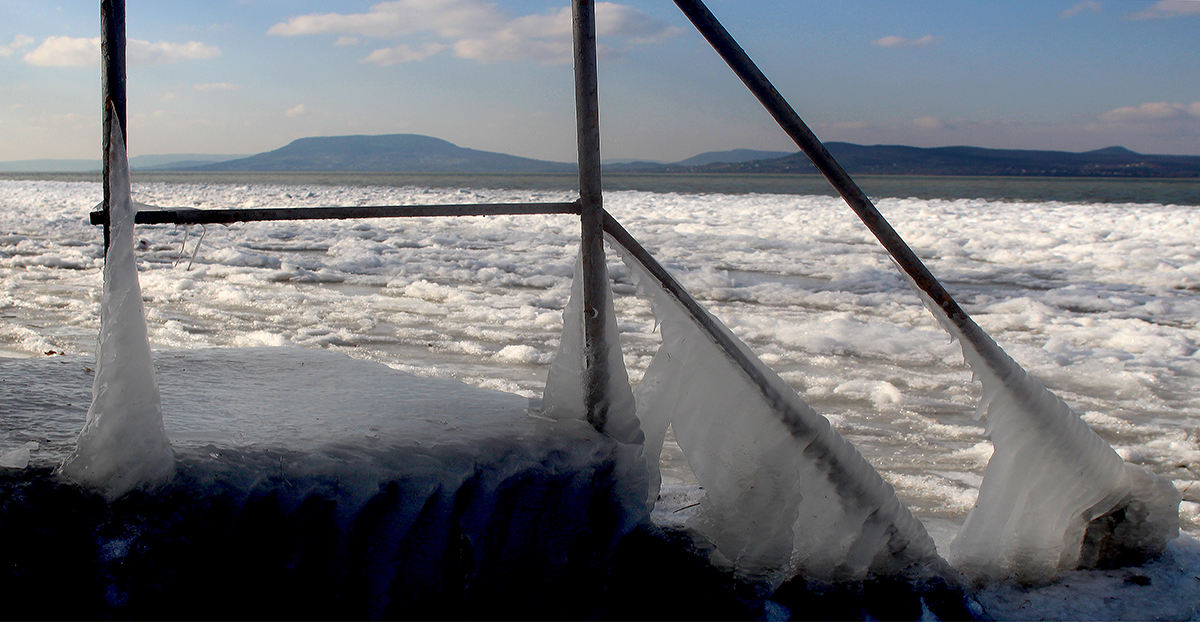
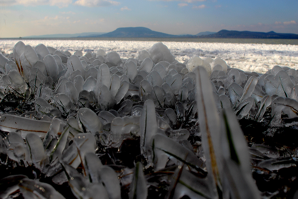
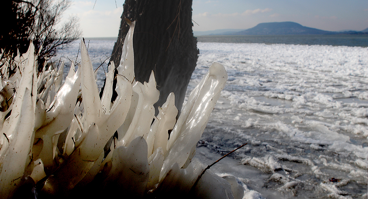
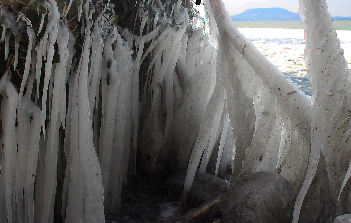
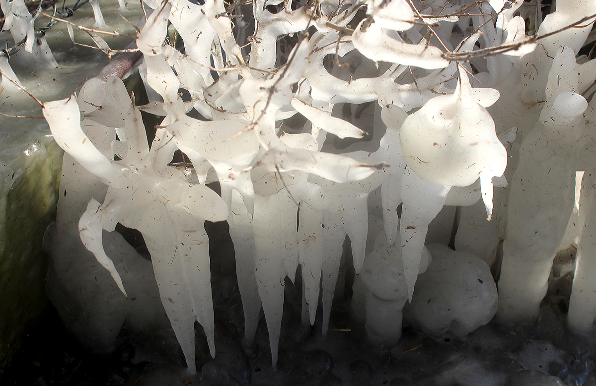
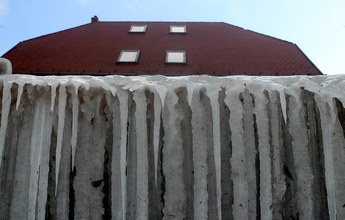
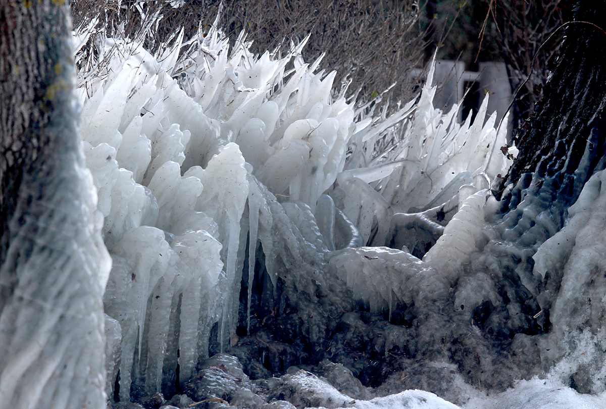
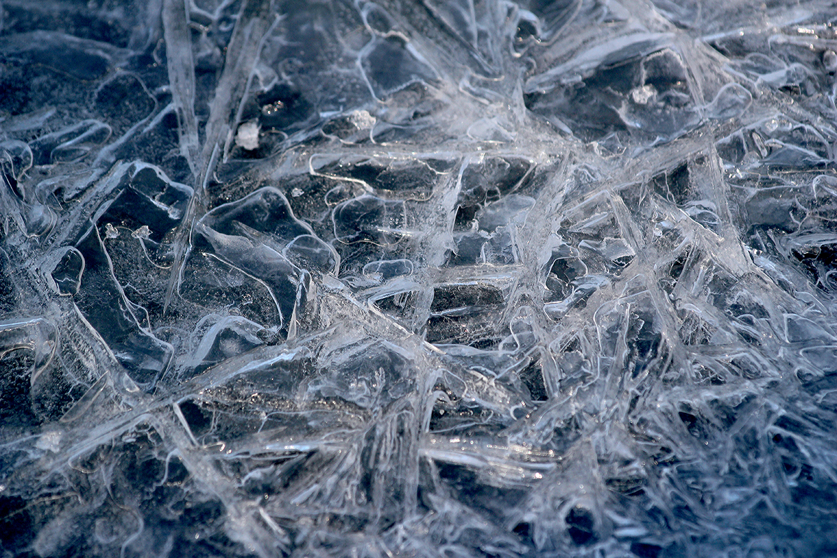
At lake Balaton, the biggest lake of Central Europe, the difference in temperature was almost 30 degrees centigrade within four days in February, 2021. The sudden fall in temperature created astonishing ice formations on the shore.
Recent years have brought changeable winters in the North Temperate Zone. Extreme snow storms not rarely swept through the North American or Eurasian continent, while rather mild weather conditions were experienced even in further northern lands. Above the North Pole region, in the upper atmosphere air is permanently in a huge constant whirl. The area expands to thousands of kilometres by diameter and is called the polar vortex.
As the strength of the polar vortex is defined by the difference in temperature between the Equator and the poles, it weakens in summer and strengthens in winter. At the edge of the polar vortex, where the northern, cold and dry air mass meets the southern, warm and wet air mass, at the altitude of 7-12 thousand kilometres, very strong air currents are running around the continents and oceans of the northern hemisphere: this is called the jet stream. If the polar vortex is strong, the jet stream is strong as well, its trace pulls to the northern areas not letting the cold air mass surge from the region of the North Pole. However if the polar vortex is weak, the jet stream weakens as well, coming to the south by sections and often not being able to block the cold air mass broken down.
It is easy to imagine that as if there was an invisible rubber ring around the North Pole, which gets tighter around the Pole if the polar vortex strengthens, and gets looser and wavy if the polar vortex weakens. The strength of the polar vortex as well as the tightness or looseness of the meteorological ‘rubber ring’ have a correlation with the pressure relations of the air mass around the North Pole. The change of those is called Arctic Oscillation. If around the North Pole the air pressure is lower than the average – or: Arctic Oscillation is in its positive phase -, the polar vortex strengthens, the ‘rubber ring’ gets tighter and less cold air surge can be expected. However if around the North Pole the air pressure is higher than the average – or: Arctic Oscillation is in its negative phase -, the polar vortex weakens, the ‘rubber ring’ gets looser and wavy, around which cold, polar air can surge into the southern regions causing serious snow storms.
Exactly that happened in February 2021, when huge cold air mass were sweeping through Southern Europe – through the Carpathian basin – and at the same time the southern regions of the United States of America. There is an even more difficult question in the territory difficult enough in itself: how does climate change affect polar atmospheric processes? In the future more and more serious cold air surges are expected with extraordinary mild and calm winter periods meanwhile. At the same time so called distant relationships alliable to Arctic Oscillation, i.e. relations of the weather in the distant regions of the Earth can also be expected.